City-Nature Dynamics
Dhaka Region BGD

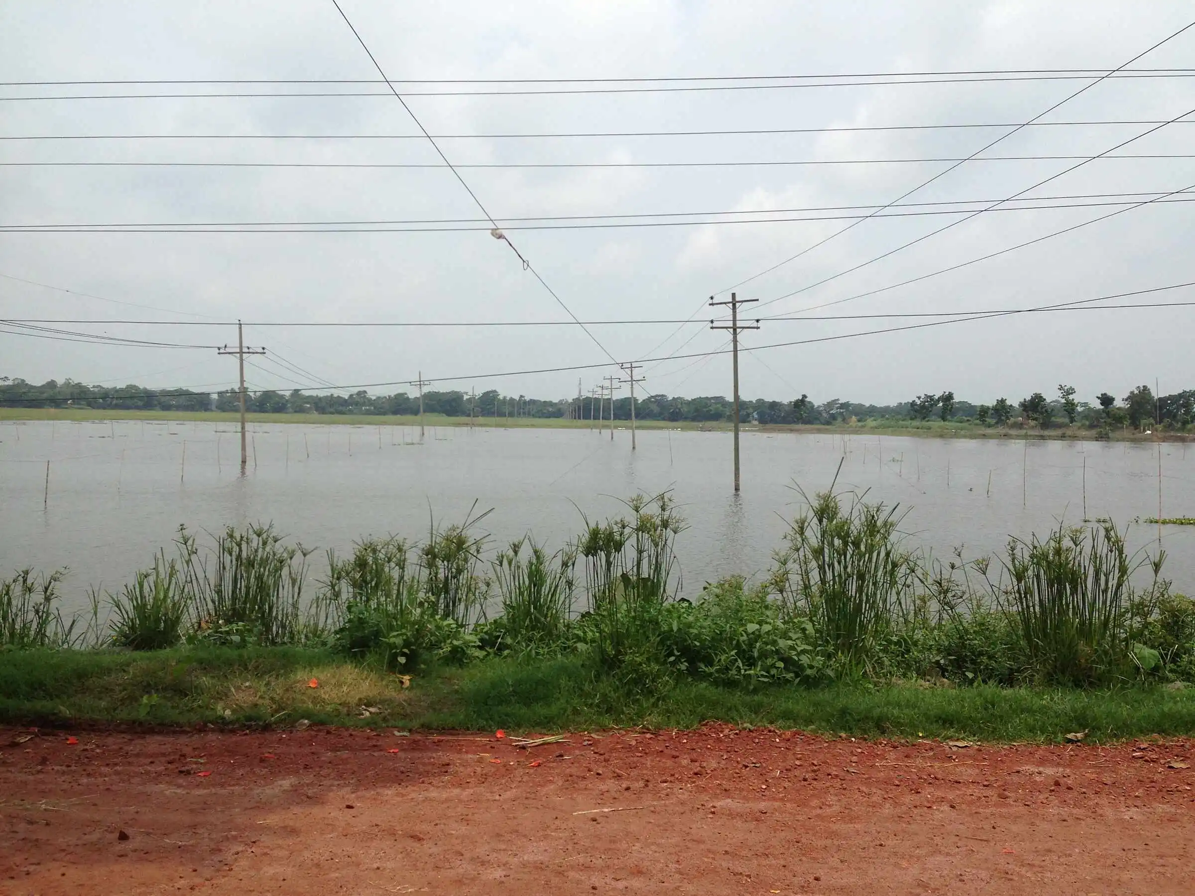
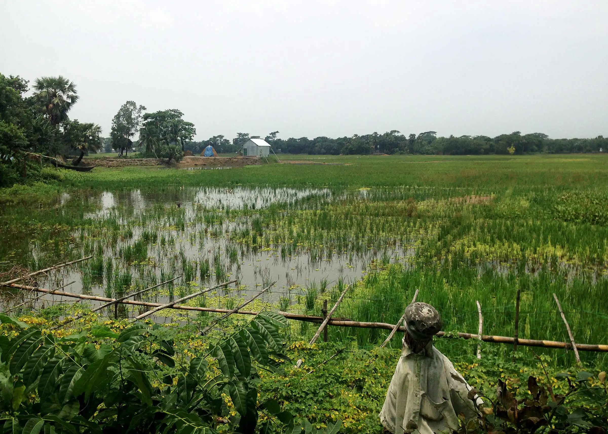
The research used a case of floodplain development to understand how households and ‘nature’ interact and how this interaction is facilitated at an institutional level, especially through Commons framework.
The thesis aims to document spatial, temporal and topographical aspects of an urban-rural landscape. The research activities relied on traditional techniques from social science, urban planning and commons research, allied with satellite imaging from GoogleMaps. Preliminary results suggest that people utilize the resources of the floodplain commons in complex and nuanced ways as part of their livelihoods, contrary to common belief that the resources are under-utilized.
The research aims to contribute to the development of sustainable pathways to urbanization in Bangladesh, and wider debates on urbanization and urban ecology. These observations support the wider hypothesis of the research concerning the complex interdependencies between human settlements and the environment in Bangladesh.

Fieldwork Reflection
Fieldwork is conditioned on the real-time events that occur within the country.
Funding
National Research Foundation, Singapore; R4D Seed Grant from ETH Global
