ur-scape
Fast, free, and interactive analytical maps

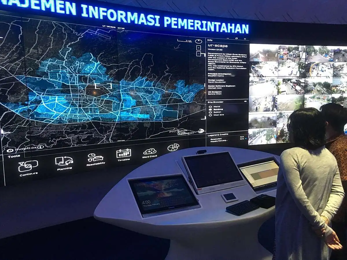
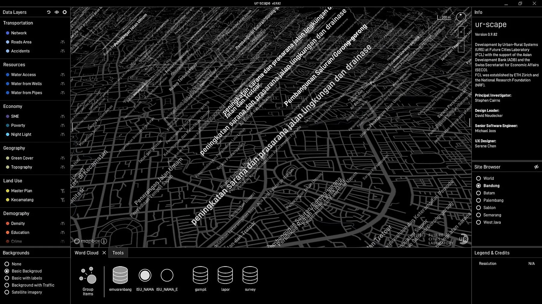
ur-scape is an open-source planning support tool specifically designed to assist towns, cities and regions experiencing rapid urbanisation. It addresses urgent and complex challenges that arise in such areas by harnessing the available geospatial data however diverse and varied in quality. By seamlessly combining different types, scales and sources of those data, ur-scape provides intuitive, interactive and reliable outputs that can be easily navigated and analysed in real-time.


ur-scape encourages city makers to tackle interconnected practical and strategic challenges of urbanising environments collaboratively. It empowers mayors, policy planners, developers, consultants or community leaders to collectively address the ‘stress points’ such as flooding, traffic congestion, poverty while enhancing the ‘sweet spots’ such as accessibility, equity, economical vibrancy. The tool helps integrate actions on the ground with broader urban systems, as well as national strategic plans and global development goals to foster sustainable and resilient living environments.
Developed by the Urban-Rural Systems (URS) and Agropolitan Territories (AGR) research teams at Future Cities Laboratory (FCL), ur-scape is supported by the Asian Development Bank (ADB) and the Swiss Secretariat for Economic Affairs (SECO). The tool continues to be developed in collaboration with the municipal planning authorities of the cities and agencies in Indonesia (Bandung, Palembang, Makassar, Cirebon, and the Ministry of Agrarian Affairs and Spatial Planning); Vietnam (Ho Chi Minh City); and India (Jaipur, Jodhpur, Bharatpur, and Nawalgarh).